Reporter leads unexplained so far
- RWI-SITREP-014-L1A daytime fire in the central Arava, seen by three satellites in under an hour on election day
Where / when27 Oct 09:52, 10:28 and 10:47 UTC; 30.678N 35.254E, farmland in the central Arava, Israel; 7.7–8.4 MW on each pass (Plate A1)
WhyThree satellites measured it at the same strength over 55 minutes, so it burned steadily. We found no report of a fire, an incident or a strike there. The nearest clear image is from 23 Oct, before the fire, so we cannot see what burned.
Would settle itIsrael Fire and Rescue Services (southern district) or the Central Arava regional council: was there a fire there on the morning of 27 Oct, and what burned? The next clear Sentinel-2 pass will show any burn scar.
Summary
Election day passed without a visible security event in the open data: four heat sources across Israel, Gaza, the West Bank and southern Lebanon in 24 hours, none in Gaza, the West Bank or the Lebanon strip, where strikes were nonetheless reported on 26 Oct. Election-eve flights show US tankers at Ben Gurion and an Israeli Heron drone circling central Israel. One unexplained fire in the central Arava as storms moved in.
Window 26 Oct 2026 14:15 MDT (20:15 UTC) → 27 Oct 2026 14:15 MDT (20:15 UTC)
Plates
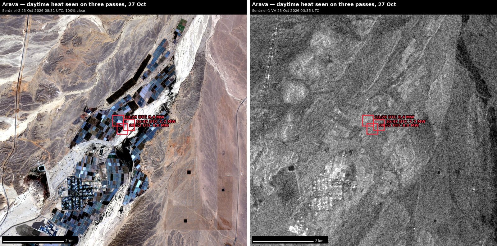 Plate A1 — arava daytime heat seen on three passes
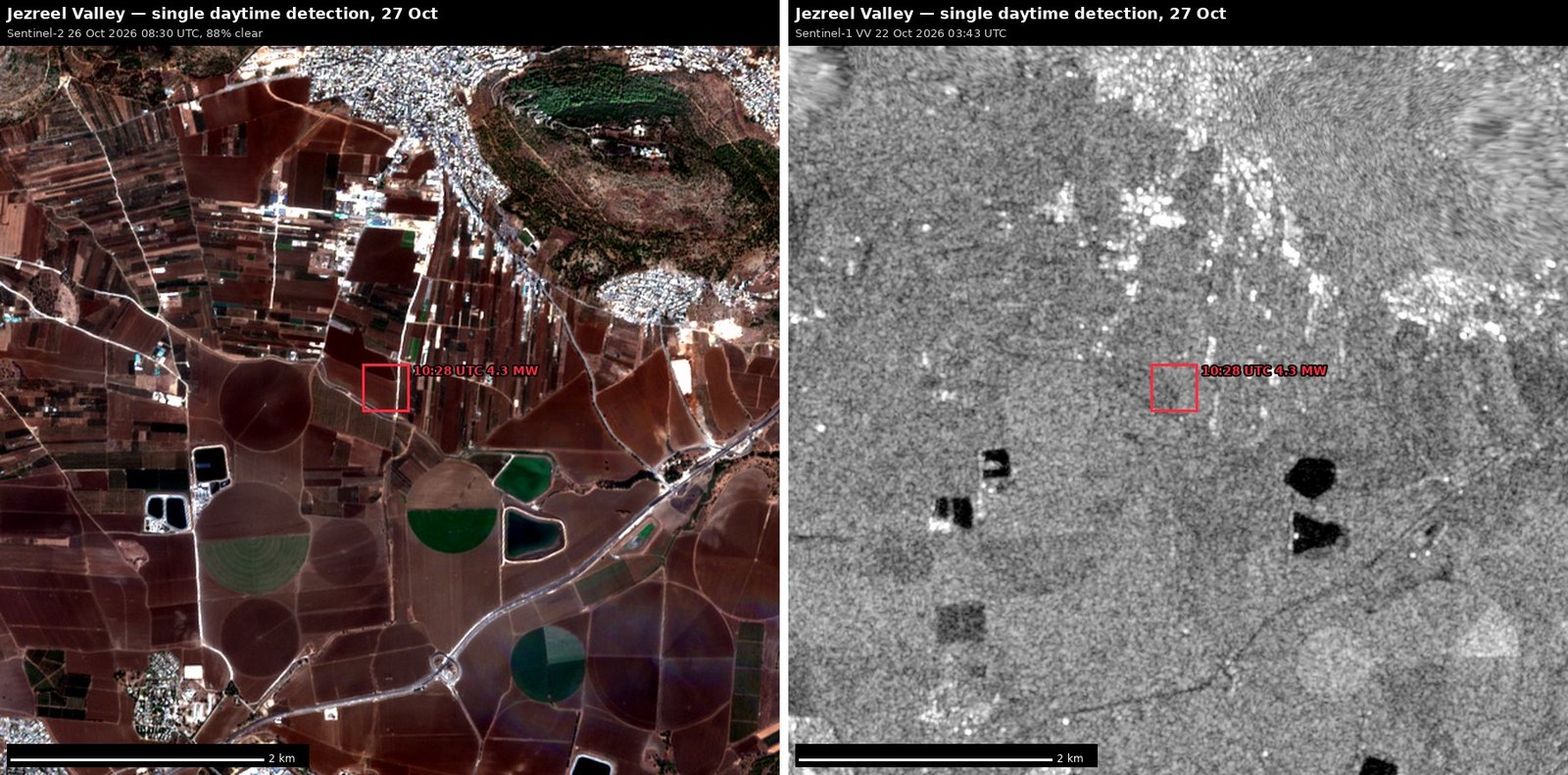 Plate A2 — jezreel valley single daytime detection
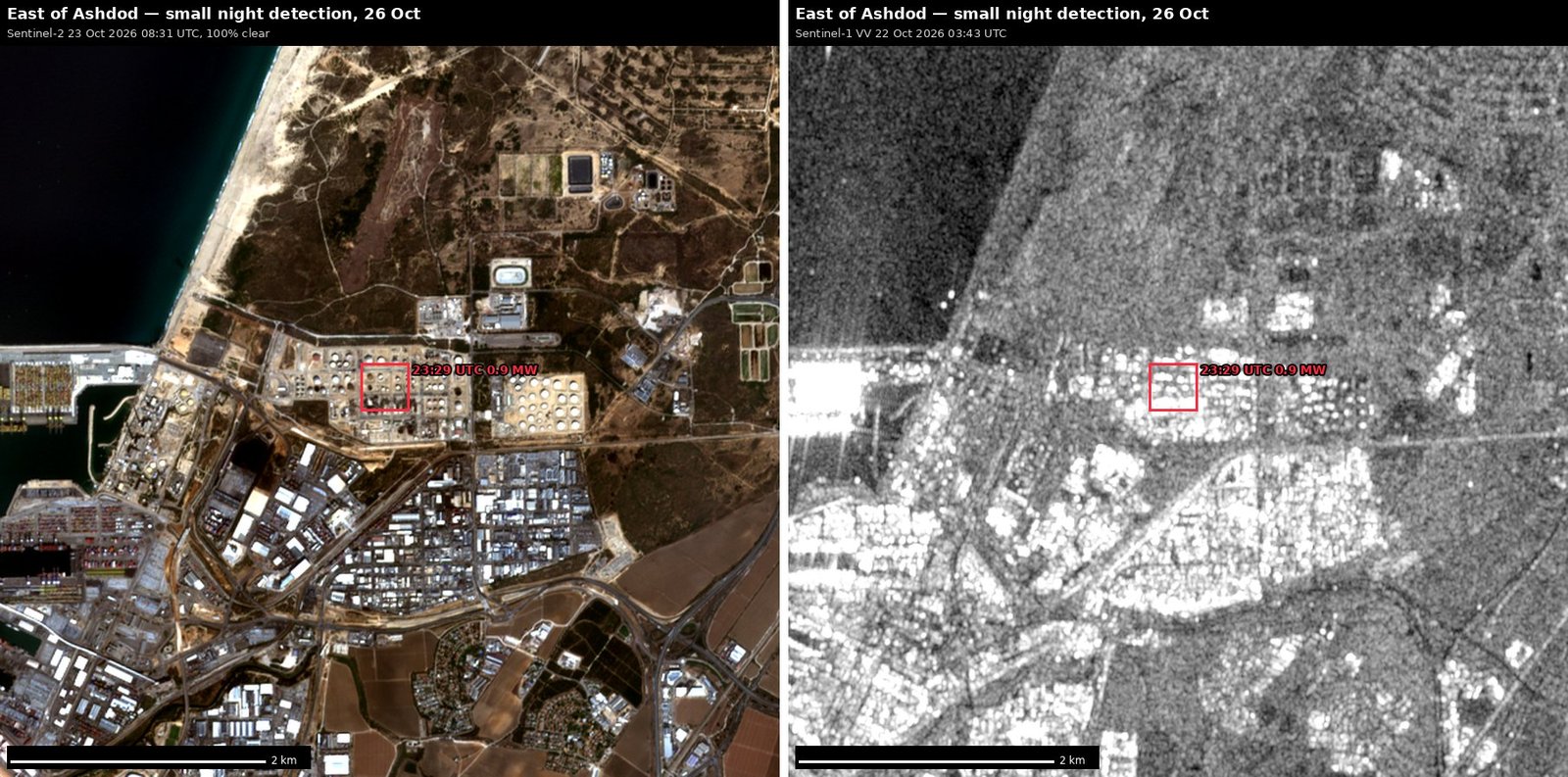 Plate A3 — east of ashdod small night detection 26
 Plate B1 — gaza strip no heat detections in 48 h
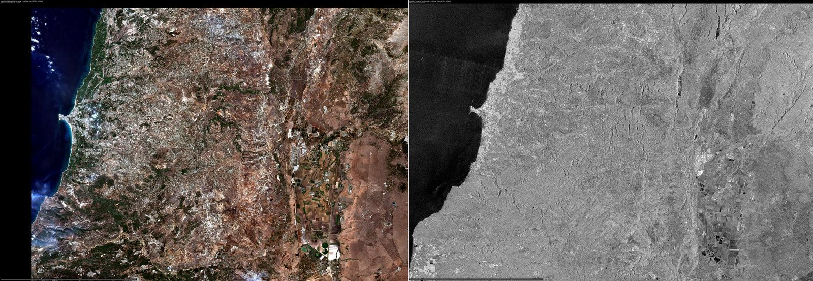 Plate B2 — southern lebanon border strip no heat si
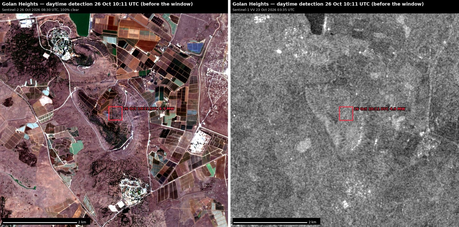 Plate B3 — golan heights daytime detection 26 oct 1
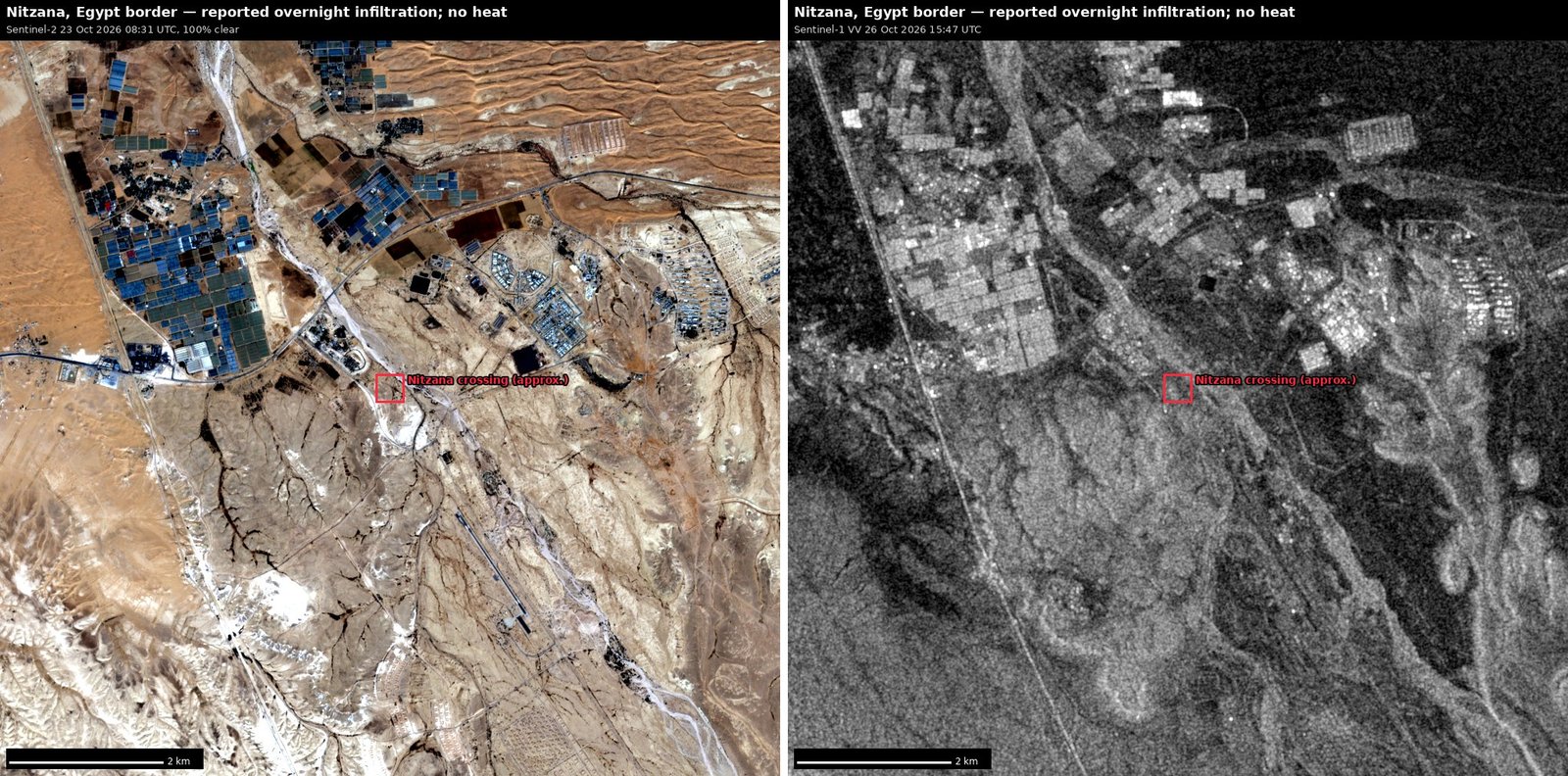 Plate B4 — nitzana egypt border reported overnight
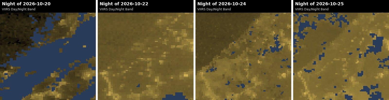 Plate N1 — gaza night lights 20 25 oct full moon 26